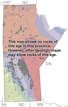
The Cambrian in Manitoba, Canada

Cambrian in Manitoba map

undifferentiated rock units help

Choose a time period:

Quaternary
Tertiary
Cretaceous
Jurassic
Triassic
Permian
Carboniferous
Devonian
Silurian
Ordovician
Cambrian
Precambrian

Cambrian Fossils

No slide show is available for the Cambrian in Manitoba.

Search the fossil gallery

Paleontology and geology

During the Early and Middle Cambrian, Manitoba remained above sea level and exposed to erosion. But by the Late Cambrian, a basin began to form to the southwest, and the warm, tropical seas encroached on the southwestern corner of the province. Sediments eroding off the highlands were deposited in the basin and along the shore of this sea, forming sandstones and mudstones. These shallow marine deposits contain fossils of brachiopods and trilobites, but most of these rocks are buried below the surface under younger deposits. A few exposures may appear on more detailed maps.


Northwest Territories Province Map
Nunavut Province Map
Ontario Province Map
Minnesota State Map
North Dakota State Map
Saskatchewan Province Map

site tour | about the site | site map | site credits | page credits | help | FAQs | contact
© | editorial policy | awards | teachers' guide | site generator | About RSS

paleontology news:   recent site additions: