

The Quaternary in Montana, US |
|||||||||||||||||||||||||||||||||||||||||||||||||||||||||||
|
|||||||||||||||||||||||||||||||||||||||||||||||||||||||||||
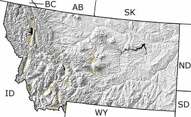
Paleontology and geologyDuring the Quaternary, the climate became increasingly wetter. This invigorated streams that began to carve deep valleys into the plains of eastern Montana. With cooling temperatures, glaciers expanded in the mountains of northwest Montana and in the Yellowstone region. These glaciers carved out serrated rows of jagged mountain peaks and flattened the northern third of the state. Several large ice-dammed lakes occupied much of the state as well. Mammoths, dire wolves, and musk ox roamed the regions to the front of the ice sheets. Quaternary deposits are found primarily in the western regions of the state. |
|||||||||||||||||||||||||||||||||||||||||||||||||||||||||||
|
|
|||||||||||||||||||||||||||||||||||||||||||||||||||||||||||

|
site tour |
about the site |
site map |
site credits |
page credits |
help |
FAQs |
contact |
||