|
|
|
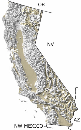
Links to more on the Quaternary in California |
|
Organizations | Education and Exhibits | Resources
Organizations
Museums (showing 3 of 4 listings)
George C. Page Museum: Explore a virtual exhibit about the Tar Pits, learn about the animals and environments of California during the Quaternary, and find information on when, where, and how to visit the La Brea Tar Pits.
The Cooper Channel: From the Dr. John D. Cooper Center Archaeological and Paleontological Center, comes the Cooper Channel. A channel dedicated to producing educational shows for all ages that focus on Orange County paleontology and archaeology.
Western Science Center: Riverside County's premier natural history museum! The Western Science Center features Ice Age mammal collections, as well as early European settlement and Native American archaeological material. With hands-on interactives, rotating temporary exhibitions, and a wide variety of community programs, the Western Science Center is fun for the whole family! 
 More Museums More Museums
 Top of List Top of List
Government Agencies (showing 1 of 1 listings)
Dr. John D. Cooper Archaeological and Paleontological Center: The Dr. John D. Cooper Archaeological and Paleontological Center is dedicated to preserving the natural and cultural history of Orange County, California. The Cooper Center, a partnership between O.C. Parks and California State University Fullerton, is committed to the preservation, curation, and management of the fossils and artifacts collected within the County.
Top of List
Education and Exhibits
Virtual Exhibits (showing 2 of 2 listings)
Mastodon in Oakland! the Rustler Ranch Project: This site features the story of a mastodon excavated and prepared by The Oakland Museum of California science preparation staff. Contains information on mastodons as well as fossil excavation and preparation techniques.
Localities of the Pleistocene: The La Brea Tar Pits: This site offers a discussion and images of fossils from the La Brea Tar Pits.
Top of List
Resources
Image Collections (showing 1 of 1 listings)
Some Fossil Brachiopods: Images of several fossil brachiopods, dating in geologic age from early Cambrian to Pleistocene, with explanatory text.
Top of List
Field Guides (showing 1 of 1 listings)
Fossils From Pleistocene Lake Manix, California: The fossiliferous Upper Pleistocene Manix Formation on California's Mojave Desert; many images of fossils; detailed virtual field trips, plus many pertinent links.
Top of List
General Reference (showing 1 of 1 listings)
Fossils In Death Valley National Park: The paleontology, geology and natural wonders of Death Valley National Park (and more); many images of fossils; field trips; paleontology links, plus links to Death Valley.
Top of List
|
|