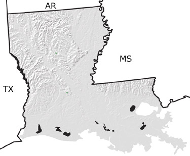
The Jurassic in Louisiana, US
|
|
|||||||||||||||||||||||||||||||||||||||||||||||||||||||||

Paleontology and geology
The Gulf of Mexico began to develop as the supercontinent of Pangea split apart, forming a sea with restricted flow to the main ocean. Evaporation rates were high, and thick salt layers were deposited on the sea floor. Later, this salt would flow and bulge up into younger deposits to form Louisianas salt domes. This map indicates limited exposures of Jurassic rocks in the central part of the state.